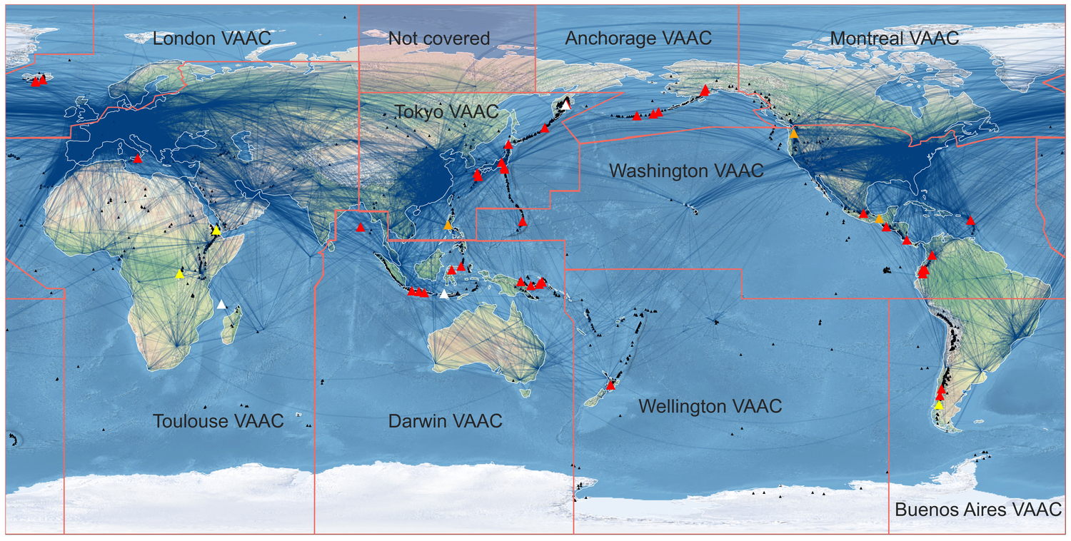
Aviation hazards
Some emissions from volcanoes cause hazards to aviation. Our hyperspectral imaging camera ASHi is designed to detect ash in the atmosphere from ~5,000 - 40,000 ft. It differs from dual-channel imaging systems in fundamental ways, with hundreds of channels permitting detection of high-altitude ice crystals, and some forms of atmospheric turbulence. Crucially, it has the capability of ranging. The basic concepts for ash detection come from more than 25 years of AIRES R&D. Detection from aircraft is described in Prata et al. (2016) which shows how dual wavelength systems can work below 10,000 ft but are rendered inoperable above. A report is available on request via our Technical Reports page. Contact us to discuss the more commercially sensitive aspects of our aviation hazards imager.

