Land surface temperature applications
We can provide validated maps of land surface temperatures (LSTs) using infrared data from a variety of satellite instruments. Our algorithms have been tested and validated over many years and published in peer reviewed journals. Recently we have developed algorithms for use with the Japanese Himawari-8 satellite (at 140°E longitude) and the EUMETSAT MSG-series of satellites at 0° longitude. These instruments capture the diurnal cycle at time scales of 10-30 minutes. LST is useful in a variety of applications including drought monitoring, crop stress and precision farming.
The AIRES suite of miniaturised infrared cameras(\( \pi \)Lepton, mini-IRcam) can also be used in specialised applications such as: viticulture, thermal mapping, nighttime wildlife monitoring and precision farming.
Bushfire monitoring
We use Sentinel-2 high resolution (10-30 m) data to monitor and map bushfires. Our \( \pi \)Lepton IR camera system can be drone mounted and/or deployed on a tower to detect fire and smoke remotely.
Black ice detection
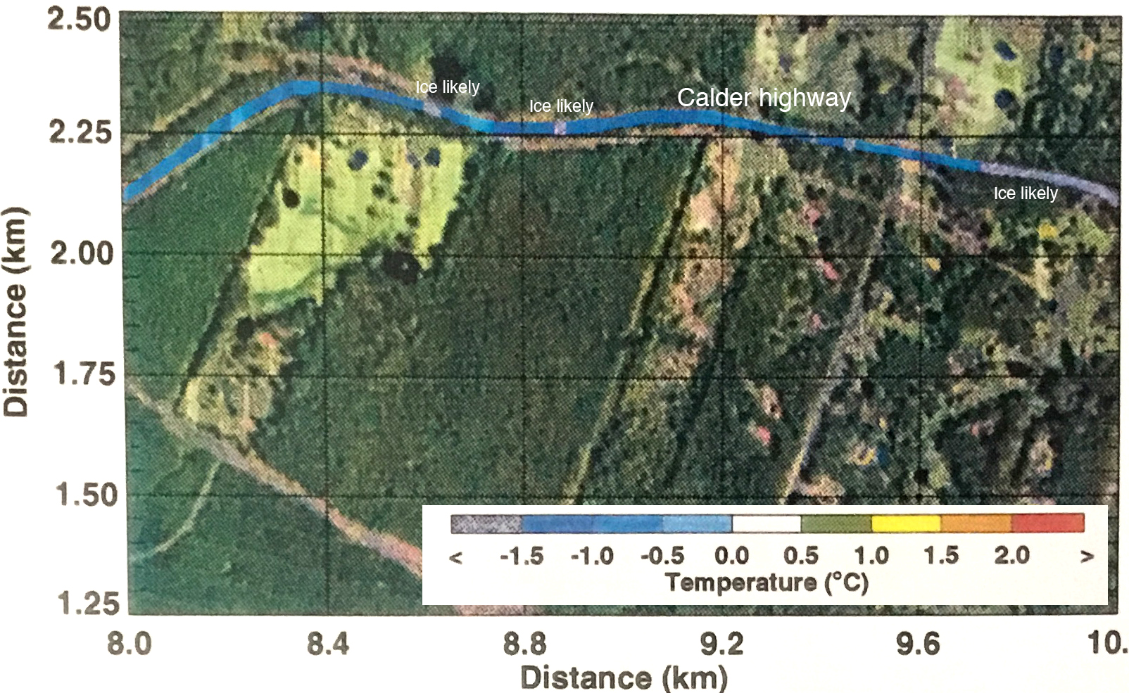
AIRES has developed a standalone IR camera system for detecting ice on road surfaces. The technology employs the mini-IRcam camera system that can be mounted in a vehicle, on the roadside or on a drone to quickly assess the status of a highway or road surface.